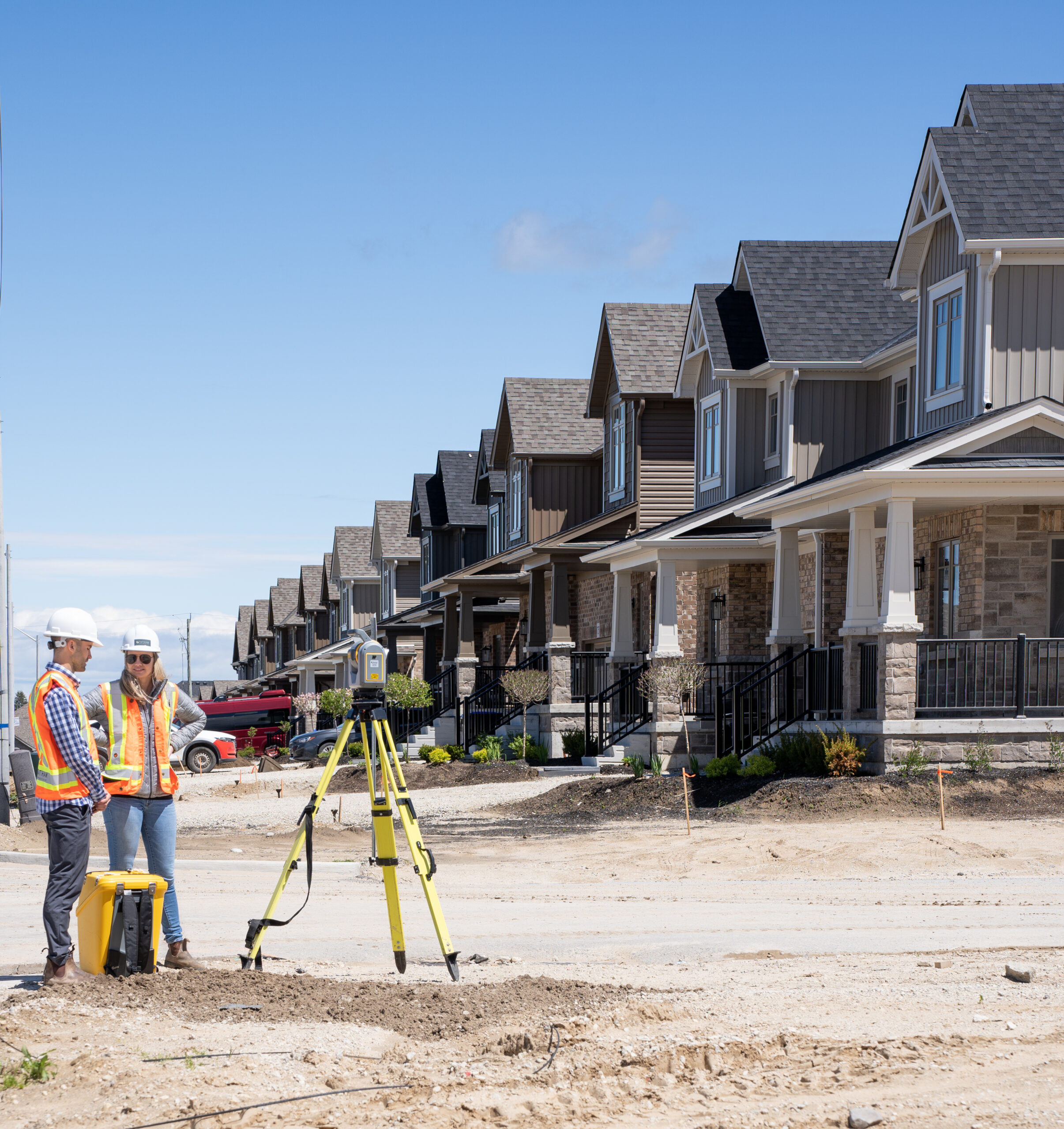
Geomatics
Services
Precision begins with understanding the land. Our Geomatics team delivers accurate, high-resolution spatial data to support every stage of your project lifecycle—from planning and design to construction and long-term monitoring. Using advanced technologies including 3D LiDAR, GIS, and digital modeling, we provide the critical insights that drive informed decision-making, reduce risk, and ensure your project’s success.

We turn spatial data into action.
With cutting-edge technology and proven field expertise, we deliver accurate, timely results that minimize costs and keep your project on track.
Surveying & Construction Support
Accurate field surveys and control services capture site conditions, set benchmarks, and verify design accuracy throughout your construction project.
- Topographic Surveys
- As-built Surveys
- Site Control Surveys & Benchmarking
- Construction Control & Staking
- Structural & Deformation Monitoring
Advanced Geospatial Services
We use advanced technology to deliver detailed site analysis, volume calculations, and comprehensive geospatial insights for smarter project decisions.
- 3D LiDAR Surveys & Digital Site Modeling
- Earthworks Volume Calculations
- GIS & Geospatial Data Services
Why Tatham?
With over 35 years of experience and six offices across Ontario, our team is committed to enhancing our communities, one project at a time.
As a multidisciplinary firm, our teams are ready to support you from design to construction and commissioning
Our innovative, up-to-date engineering solutions are tailored to the unique needs of each project
We prioritize building strong relationships with our clients, ensuring clear communication and a shared vision throughout every stage of the project
Connect With Our Team

